Key characteristics
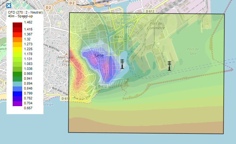
RT Windmap, developed by Meteodyn, provides wind mappings with a user specified resolution (usually 20 meters) which contemplates local effects, such as topography and buildings. In addition, it considers real time meteorological data (site measurements and wind forecasts). The software utilises wind computations and learns from previous experiences to deliver useful information about the present and future (0 to 3 days ahead) local wind.
Meteodyn was created in 2003. Since then, Meteodyn has expanded its expertise worldwide with technical partnerships and distributors around the world.
Functionalities and services
- Wind data collection and storage
- Information transmission to user (via mobile apps)
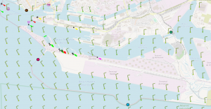
- Real time and forecasted wind mappings at the desired area
- Alarm system (activated when the wind speed threshold is exceeded or when there is a sudden change in a wind condition)
Example of MRE applications
The mobile version for smartphone or tablet allow users to know wind conditions during any ship maneuver at offshore MRE installations or at harbours. RT Windmap is a decision support tool for safe ship manoeuvring.